Impervious Surface Land Cover Data for Municipal Stormwater Management
High-precision land cover vector data for geospatial analytics to support municipal stormwater management, SUF calculation, flood modeling, & impervious surface mapping.
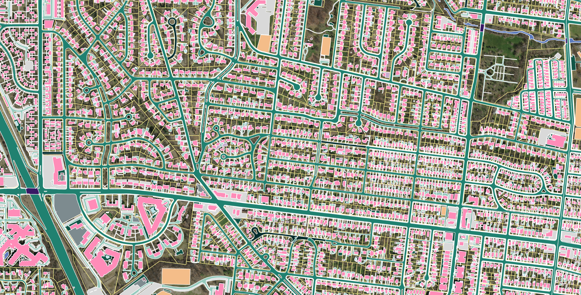
Enhance your stormwater management strategy with high-precision land cover data
Ecopia's AI-based mapping systems ingest satellite, aerial, and street-view imagery to extract high-precision vector maps in a fraction of the time it takes to manually digitize features. The result? Comprehensive, accurate, and up-to-date geospatial data that hundreds of US government organizations rely on for strategic decision-making.
Check out this sample of data from Detroit and imagine how a comprehensive, accurate, and up-to-date municipal impervious surface database could inform your own stormwater strategy.
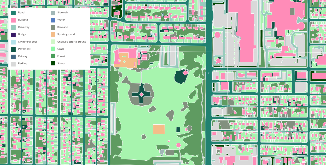
Planimetric-level detail at scale for high-precision stormwater mapping
Ensure SUFs are distributed fairly with an up-to-date view of land cover, including detailed layers for distinct impervious and natural features.
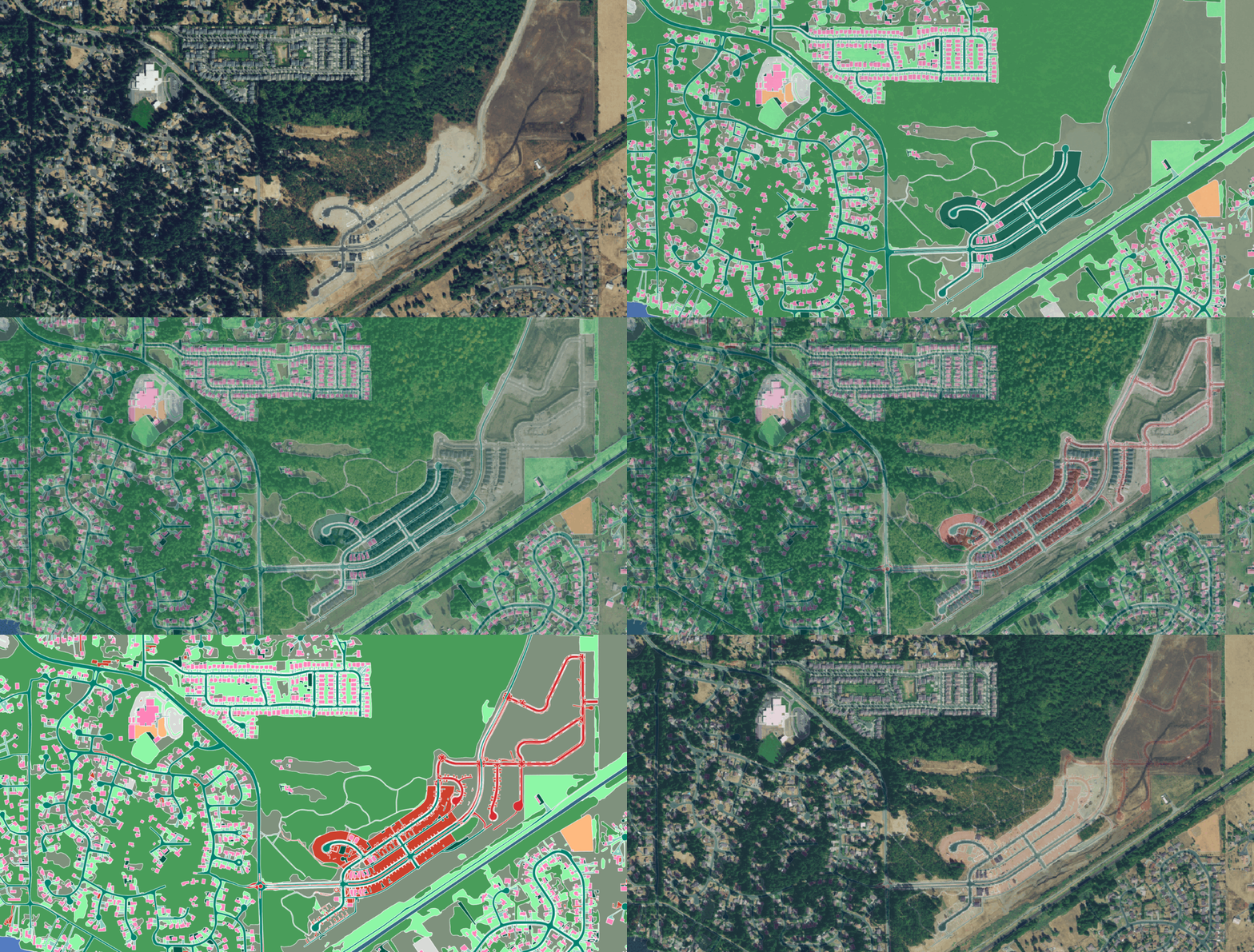
Understand how land use change impacts stormwater infrastructure and hazard risks with frequent data updates, no manual digitization required.
Analyze land cover to identify natural hazard risks and develop stormwater infrastructure that supports mitigation and resilience efforts.
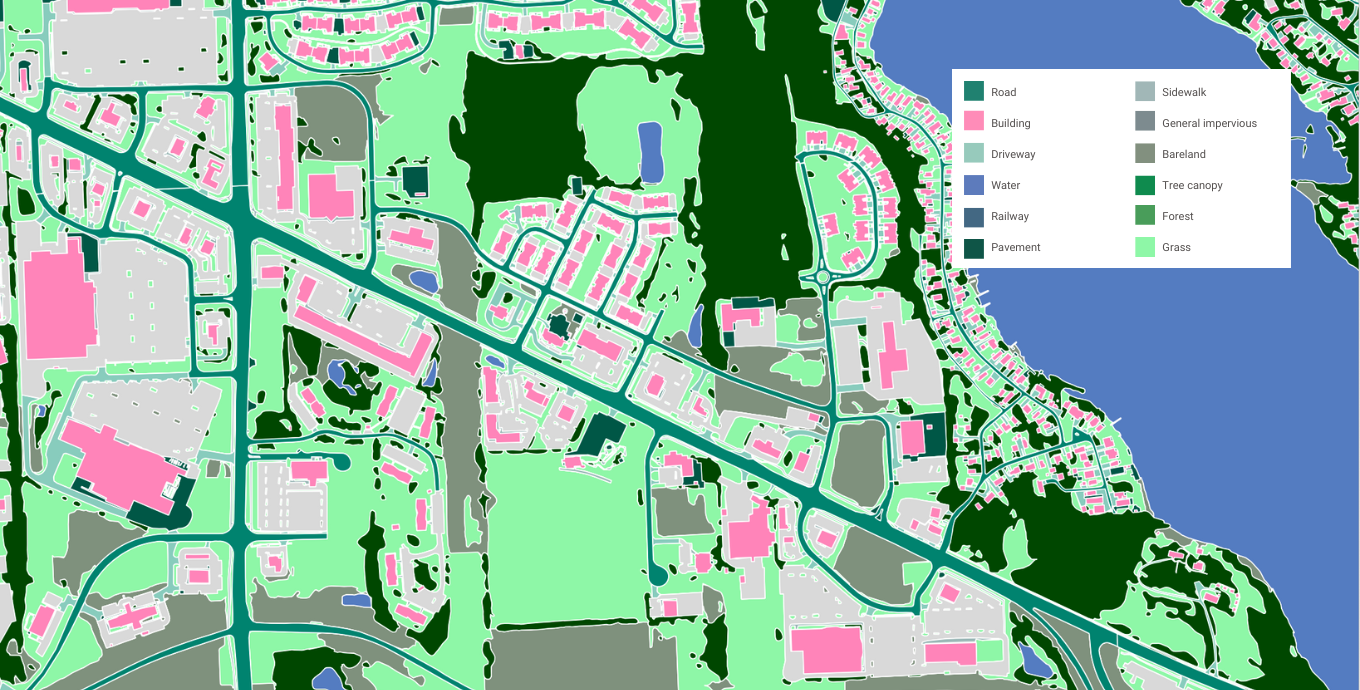
Enhance municipal flood models with runoff coefficients and similar surface drainage metrics derived from high-precision land cover features.
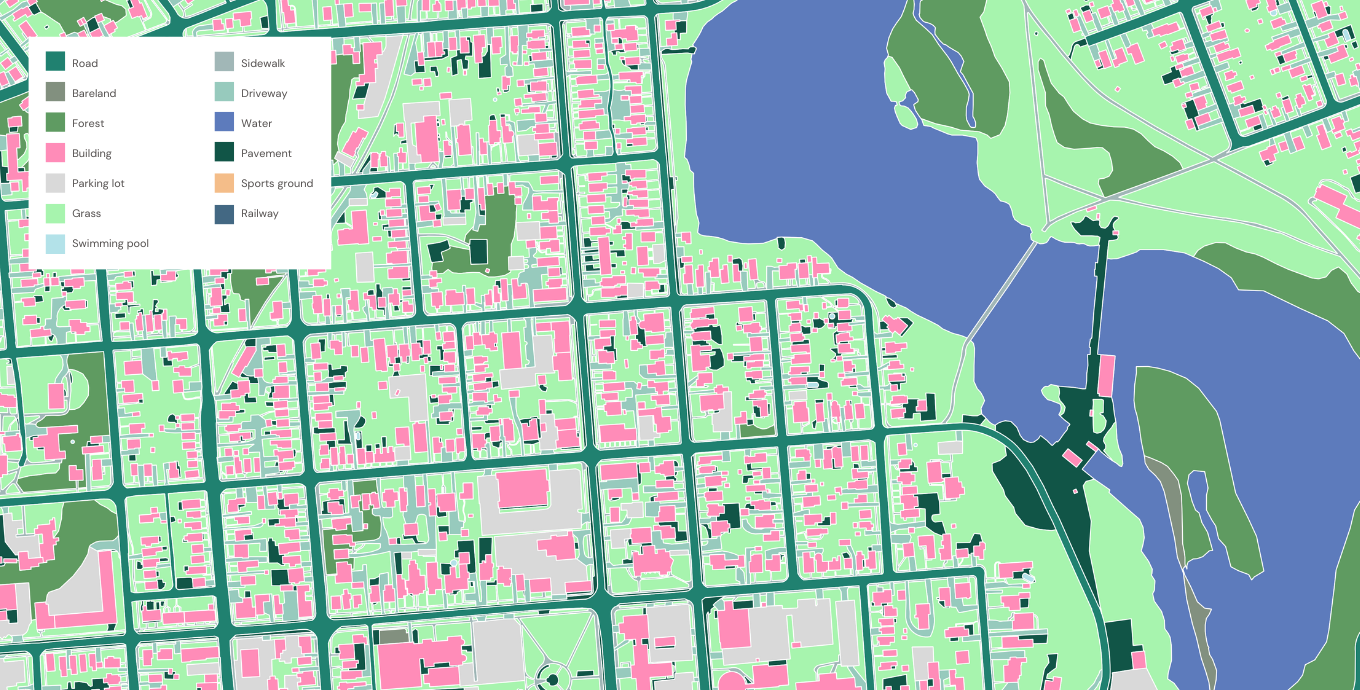
Strategically expand the development of sustainable infrastructure to support your stormwater goals, including vegetated medians, green roofs, and similar features.
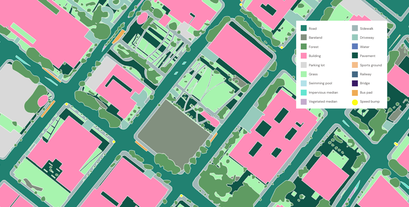
Ecopia works with hundreds of public works directors, stormwater teams, and other US government professionals to scale geospatial data creation without sacrificing accuracy.
cost savings mapping impervious surfaces in Jacksonville
scale increase mapping impervious surfaces in Detroit
Trusted by leading public sector organizations
See what stormwater & climate resilience professionals have to say about Ecopia
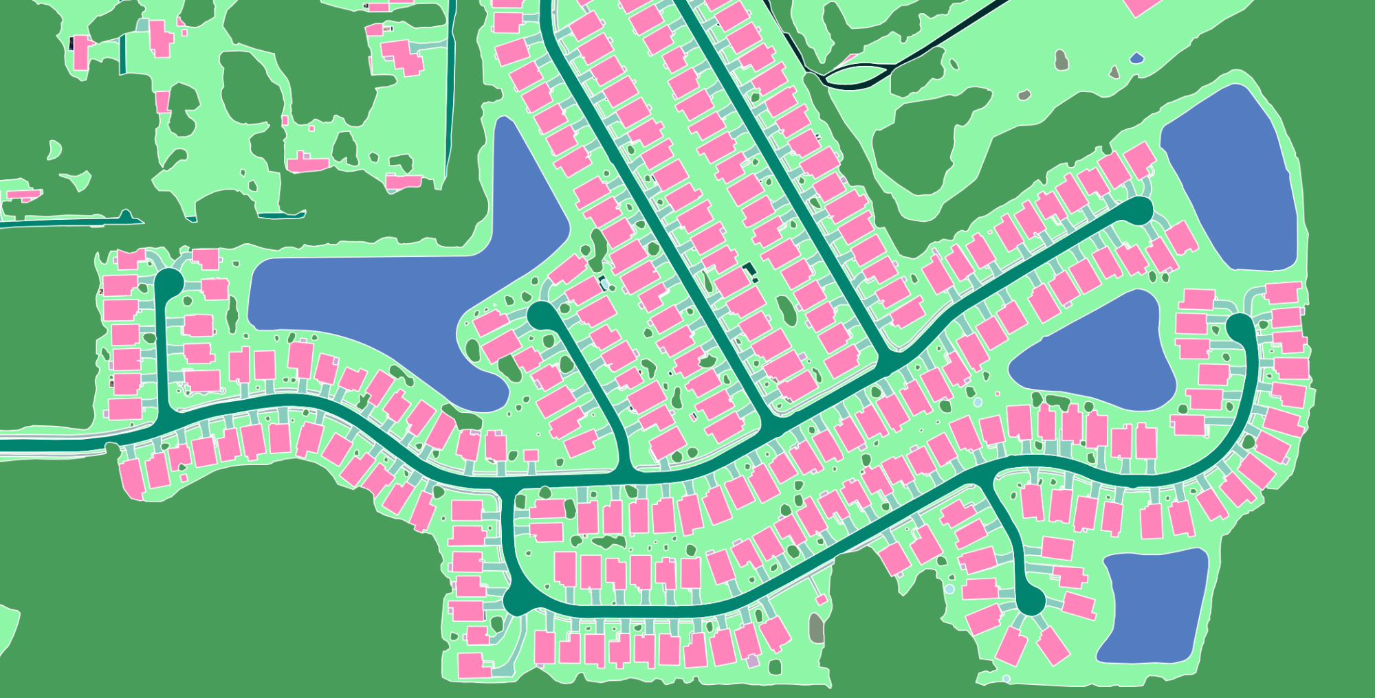
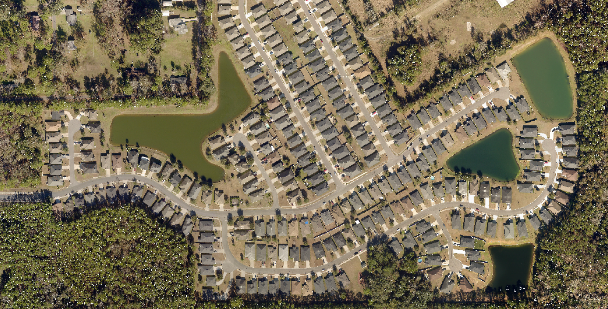
Check out this example of Ecopia's comprehensive, accurate, and up-to-date land cover in Jacksonville, Florida.
Additional resources
-
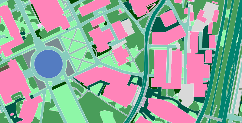
The Ultimate Stormwater Mapping Handbook
Download this free guide to see how geospatial data is transforming stormwater mapping, fee assessment, climate resilience, and more in the public sector.
-
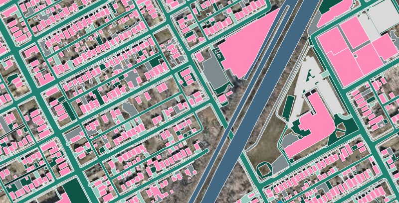
Case Study Featuring the City of Detroit
Download the free case study to learn how the City of Detroit uncovered $5.6 million in hidden stormwater utility fees with annual mapping data updates from Ecopia AI.


