Download the Ultimate Stormwater Mapping Handbook
Download the Ultimate Stormwater Mapping Handbook to see how geospatial data is transforming stormwater mapping, fee assessment, climate resilience, and more in the public sector.
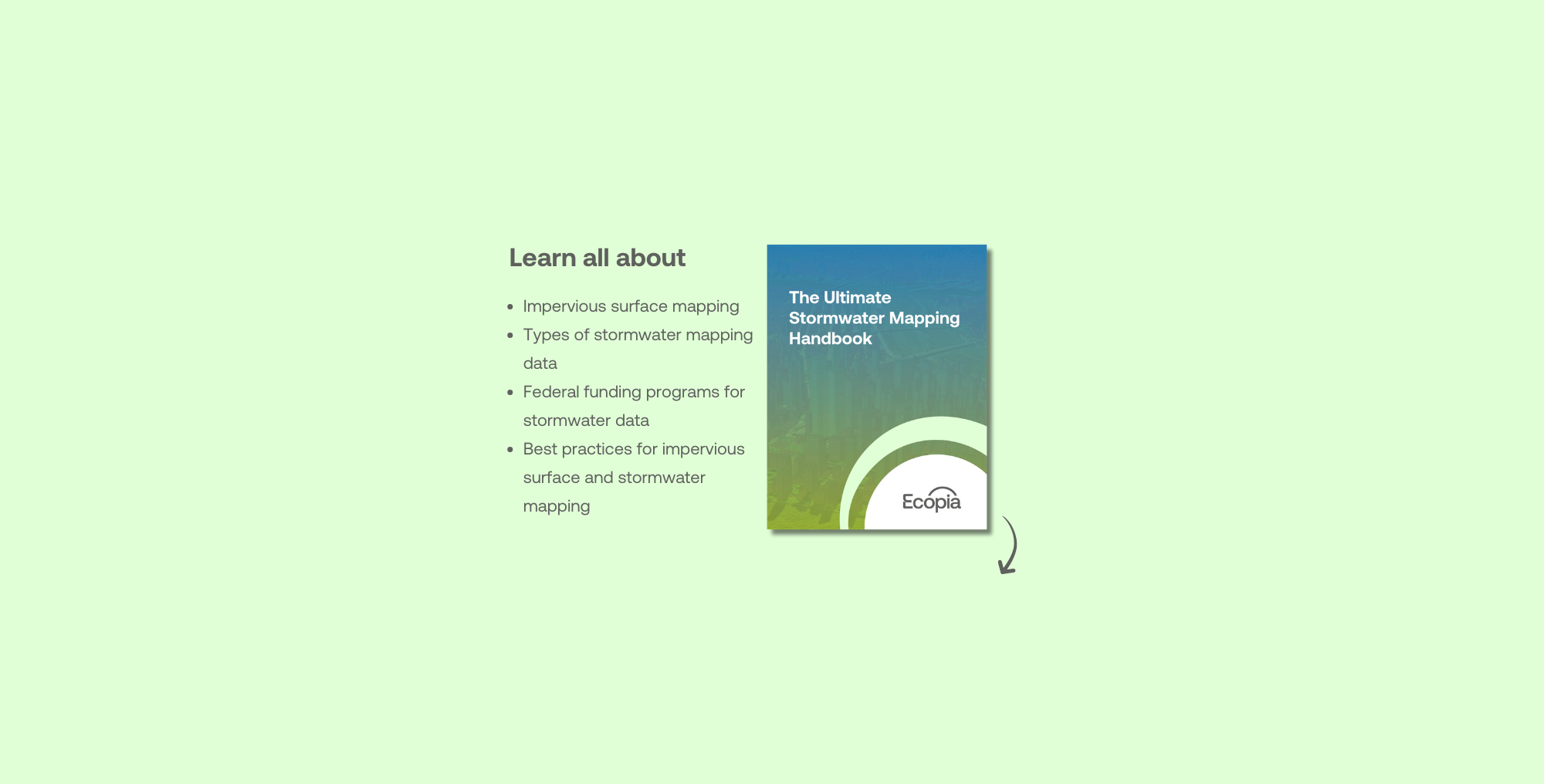
Everything you need to know about funding programs, data sources, best practices, & more.
Download a free copy of the Ultimate Stormwater Mapping Handbook
Download the Ultimate Stormwater Mapping Handbook to learn more about:
Everything government organizations need to know about impervious surface mapping for understanding and managing stormwater infrastructure, as well as for flood modeling and climate resilience planning.
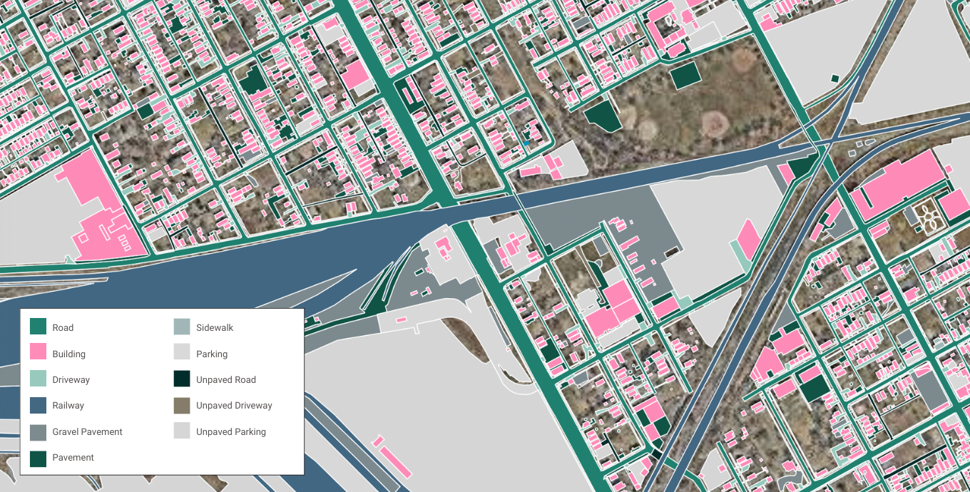
Learn more about the different types of stormwater map data & where to get it.
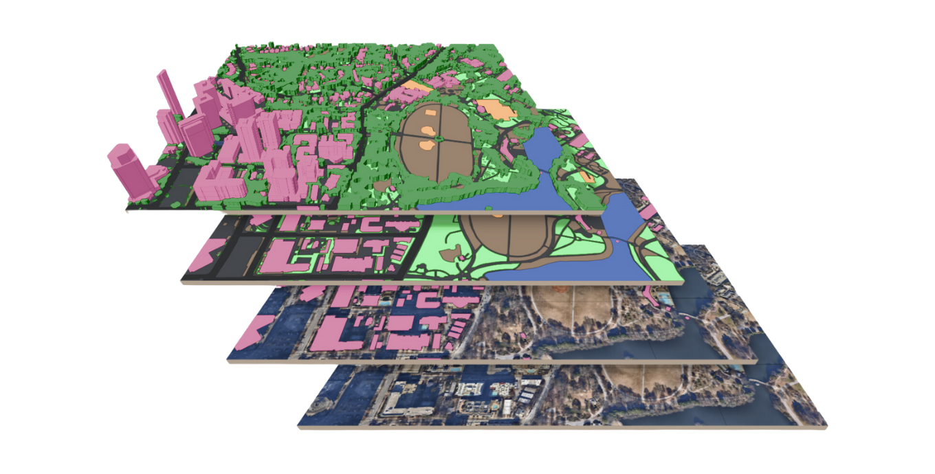
Find out more about federal funding opportunities for geospatial mapping data in stormwater infrastructure projects, including CWRF, WIFIA, OSG, & ARPA.
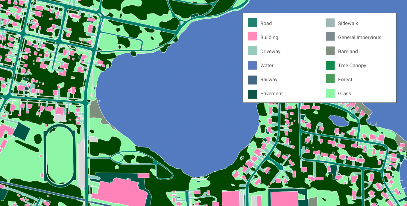
A step-by-step guide for mapping impervious surfaces, managing stormwater infrastructure, and leveraging land cover data for strategic decision-making.
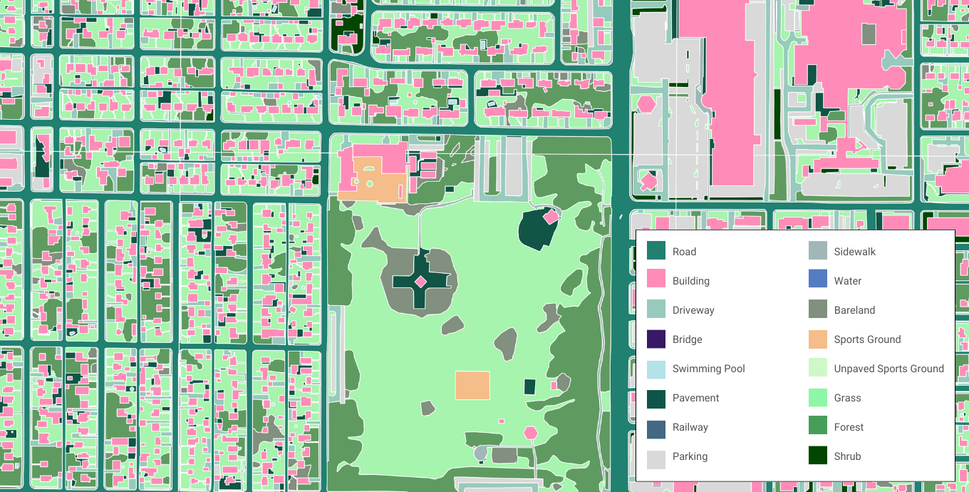
See how government organizations are leveraging AI-powered land cover data for stormwater mapping

Flood modeling
See how the City of Peterborough leverages Ecopia's land cover data derived from geospatial imagery for flood models, stormwater management, & climate resilience.

Climate resilience & sustainability planning
The State of Washington provides Ecopia land cover data to state agencies involved in flood mapping, clean energy, & more.