Featured demo: Glendale, California 3D Land Cover
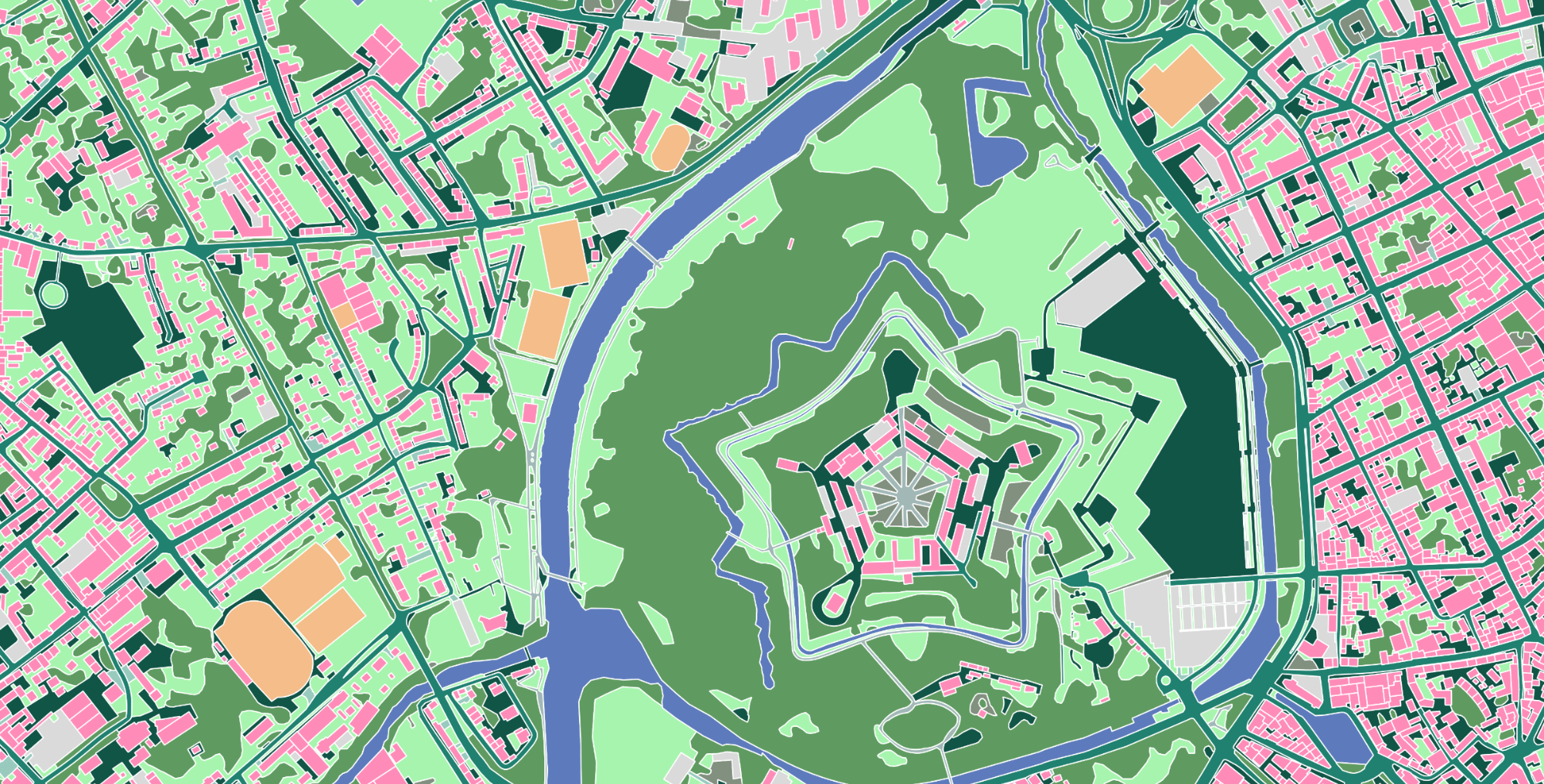
Ecopia’s large-scale AI-based mapping technology, paired with high-resolution geospatial imagery, enables the creation of a high-precision 3D vector representation of the real world, created and maintained with unprecedented speed. This demo shows 3D buildings, trees, and bridges in Glendale, California. Scroll down and unlock more product samples below to see other data digitized by Ecopia.
List of product samples
See the full list of product samples that can be unlocked
-
Melbourne 2D & 3D Land Cover
-
Product Global Feature Extraction
-
Area of interest Melbourne, Australia
Locked -
-
San Bernardino 2D Advanced Transportation Features
-
Product Advanced Transportation Features
-
Area of interest San Bernardino, California
Locked -
Ready to get started?
Get in touch with our team and explore our data portal.